
Masterclass QGIS Carbon Project
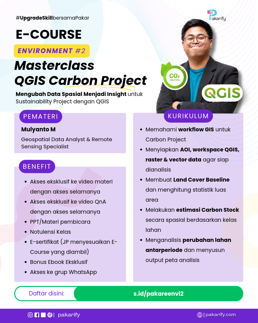
Pemateri Berpengalaman

Mulyanto M
Geospatial Data Analyst & Remote Sensing Specialist
✅ Spesialis Geospasial untuk Carbon Project, Forest Monitoring & Sustainability Assessment
✅ Mengembangkan Analisis Land Cover, Carbon Stock & Dynamic Baseline untuk Mendukung Proyek Karbon
✅ Experienced Google Earth Engine, Remote Sensing & GIS untuk Monitoring Perubahan Lahan dan Analisis Lingkungan
Pendidikan
Universitas Gadjah Mada (August 2019—July 2023) Yogyakarta
Bachelor of Sciences, Major in Geography, Minor in Cartography & Remote Sensing
Scholarship Awardee of TELADAN Program by Tanoto Foundation (January 2020–August 2023)
Pengalaman Professional
Fairatmos – PT Udara Untuk Semua, Jakarta
GIS Remote Sensing Specialist
(August 2023 – Present)
Deskripsi:
- Processed and quality controlled large scale spatial datasets covering more than 30 million hectares across Southeast Asia for multitemporal land use change analysis, integrating land cover, concession, forestry, and environmental constraint layers.
- Performed strict spatial compliance screening to evaluate prohibited planting areas by delineating steep slopes (>40% gradient), riparian buffer zones, and sensitive peatland ecosystems (DEL & PAD analysis) using high-resolution DEM and LiDAR.
- Developed Dynamic Baselines and forest stocking indices using NDVI time-series, Google Colab, and drone-derived Canopy Height Models (CHM) to support High Carbon Stock Approach (HCSA) stratifications and project feasibility studies.
- Managed large-scale geospatial databases for High Conservation Value (HCV) assessments and Project Design Documents (PDD), integrating landscape buffers and legal forestry attributes to ensure compliance with Verra and international sustainability standards.
FOLU Net Sink 2030 – P2HB, Banten
GIS Expert & Drone Pilot
(December 2025–April 2026)
Deskripsi:
- Developed the 2025 land cover baseline and spatial databases across 500 hectares to support the FOLU Net Sink 2030 forest restoration program.
- Acquired and processed UAV data to produce high-resolution Orthophotos, DSMs, and DTMs, delivering standardized spatial metadata and technical reports.
Research Directorate UGM, DI. Yogyakarta
Research Assistant
(September 2022–June 2023)
Deskripsi:
- Responsible for assisting the principal investigator in mapping the biophysical characteristics of mangrove forests using remote sensing data on a national scale and has accessed more than 500,000 hectares of mangrove forests in Indonesia.
- Contributed to the publication of 2 international journals and 1 educational book on remote sensing for mangrove forest mapping and modeling.
ATR/BPN Kabupaten Pati, Central Java
Field Surveyor & GNSS Operator
(April—May 2023)
Deskripsi:
- Responsible for surveying & measuring ICP coordinates for making orthophoto maps in the framework of the ATR/BPN 2023 PTSL program in 21 sub-districts in Pati Regency, Central Java.
- Also in charge of making base stations using GNSS Base, measuring coordinates using GNSS Rover, and tidying up data acquisition results.
Sosial Media
LinkedIn: linkedin.com/in/mulyanto-m/
Kursus dan Sertifikasi
- Drone Pilot Certifications, held by Terra Drone Indonesia, 2023
- Drone Pilot Certifications, held by Drone Edutek Indonesia, 2026
- Data Preparation in Data Science using R, held by DQLab, 2023
- Data Visualization in Data Science using R, held by DQLab, 2023
- R Fundamental for Data Science, held by DQLab, 2023
- Statistic using R for Data Science, held by DQLab, 2023
- GIS Training, “Fundamental of ArcGIS System: ArcGIS Pro, ArcGIS Online, ArcGIS Apps”, held by Esri Indonesia, 2022
- High Definition 3D Scanning Borobudur Workshop, “Laser Scanning by LiDAR and Photogrammetry for Heritage”, held by Kementerian Pendidikan, Kebudayaan, Riset, dan Teknologi, 2021
Kurikulum
Membangun Workspace QGIS: Menyiapkan Data Spasial untuk Carbon Project
- Memahami alur kerja carbon project, penentuan area proyek, analisis land cover, hingga estimasi carbon stock dan monitoring perubahan lahan.
- Menyiapkan Area of Interest (AOI), sistem koordinat, serta menyelaraskan data raster dan vektor menggunakan QGIS.
Output topik 1
Peserta menghasilkan workspace QGIS dengan batas area proyek serta data spasial yang siap digunakan untuk analisis carbon project.
Analisis Land Cover: Menghitung Luas dan Memetakan Kondisi Lahan
- Mengolah dan menyelaraskan kategori land cover untuk mengidentifikasi distribusi hutan, perkebunan, pertanian, dan kelas lahan lainnya.
- Menghitung luas dan persentase setiap kelas land cover menggunakan Field Calculator serta memvisualisasikannya dalam peta.
Output topik 2
Peserta menghasilkan peta land cover baseline beserta tabel luas dan persentase setiap kelas lahan dalam area proyek.
Estimasi Carbon Stock: Dari Data Tutupan Lahan Menjadi Peta Stok Karbon
- Menyiapkan faktor carbon stock sesuai kategori land cover dan menghubungkannya dengan data luas masing-masing kelas lahan.
- Menghitung estimasi carbon stock menggunakan Field Calculator dan memetakan distribusi stok karbon berdasarkan hasil perhitungan.
Output topik 3
Peserta menghasilkan tabel estimasi carbon stock per kelas lahan beserta peta distribusi stok karbon pada area proyek.
Monitoring Carbon Project: Menganalisis Perubahan Lahan dan Menyusun Peta Hasil
- Membandingkan land cover dua periode dengan overlay untuk mengidentifikasi perubahan kelas lahan, luas transisi, dan indikasi dampaknya.
- Menyusun matriks perubahan lahan, menginterpretasikan hasil analisis, serta membuat layout peta akhir menggunakan QGIS Print Layout.
Output topik 4
Peserta menghasilkan peta monitoring perubahan lahan, matriks transisi, dan layout peta carbon project beserta ringkasan hasil analisis.