Masterclass QGIS Essentials
Pemateri Berpengalaman

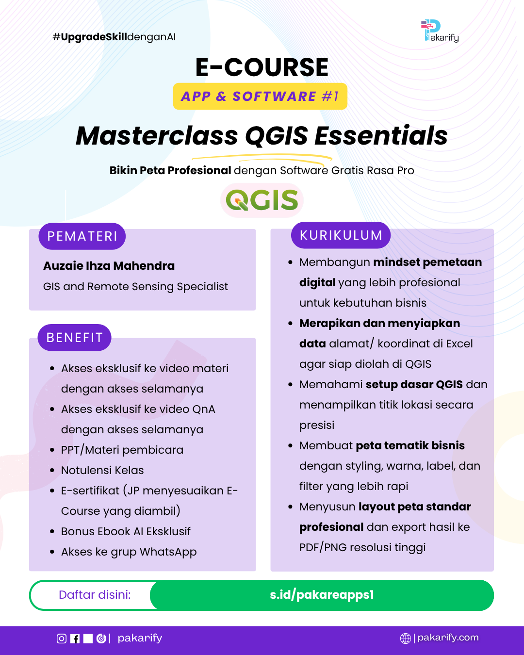
Auzaie Ihza Mahendra
GIS and Remote Sensing Specialist
Pendidikan
Master of Remote Sensing at Universitas Gadjah Mada
(August/2022 – July/2024)
Thesis Title:
Analysis of Urban Ecological Quality Based on Remote Sensing Ecological Index (RSEI) In the City of Bandung and Semarang City (Thesis written in Bahasa Indonesia)
Geography at Yogyakarta State University
(August/2015 – January/2020)
Thesis Title:
Condition of Private Green Open Space in Kalasan Sub-district, Sleman Regency (Thesis written in Bahasa Indonesia)
Pengalaman Professional
GIS Specialist
Mangrove for Coastal Resilience (M4CR) PIU Kementerian Lingkungan Hidup Republik Indonesia, Jakarta, Indonesia
(November 2025 – Present)
Deskripsi:
Responsible for ensuring accurate and standards-compliant geospatial data, supporting coordination across teams, providing maps and spatial analysis for planning and evaluation, strengthening GIS capacity and infrastructure, and delivering technical input and reports to help achieve project objectives.
GIS Specialist
PT. Multi Areal Planing Indonesia (MAPID), Bandung Regency, Indonesia
(November 2024 – November 2025)
Deskripsi:
Responsible for cleaning, preprocessing, and ensuring the quality of geospatial data, developing automated workflows for remote sensing extraction, conducting geospatial research, reviewing GIS and remote sensing data accuracy, organizing primary data collection, and supervising the delivery of reliable geospatial outputs for clients and internal stakeholders.
Remote Sensing and GIS Research Assistant
Master Program in Remote Sensing, Universitas Gadjah Mada, Sleman Regency Indonesia
(August 2022 – July 2024)
Deskripsi:
Responsible for geospatial data acquisition, processing, integration, and visualization; selecting suitable satellite imagery, algorithms, and statistical methods for mapping; ensuring data quality; conducting geospatial studies; and carrying out spatial analysis using GIS, remote sensing, and related analytical tools.
Freelance GIS Operator
Desa Akar Karsa Community, Banjarnegara Regency, Indonesia
(January 2022 – April 2022)
Deskripsi:
Responsible for collecting and digitizing spatial data of the Dieng Plateau landscape, converting printed maps into shapefile vectors, visualizing digital maps, analyzing administrative boundaries within the area, and conducting spatial analysis using GIS applications.
Freelance GIS Operator
Resan Gunungkidul Community, Gunungkidul Regency, Indonesia
(July 2021 – December 2021)
Deskripsi:
Responsible for compiling plant inventory data, plotting field coordinates, visualizing planting activities through printed and interactive web-based maps, planning priority planting areas spatially, and conducting spatial analysis using GIS applications.
Geospatial Analyst and Operator
Mapping Corner Consultant, Sleman Regency, Indonesia
(October 2019 – June 2022)
Deskripsi:
Responsible for acquiring GIS and remote sensing data suited to mapping objectives, integrating spatial and non-spatial data, conducting statistical and spatial analysis with appropriate methods, ensuring data quality, and processing geospatial outputs using GIS, remote sensing, and analytical tools.
Pengalaman Praktisi (Project)
Tenaga Ahli GIS | BBWS Ciliwung-Cisadane | Kajian Situ Bungur
(October 2025 – November 2025)
Objektif:
Performed data processing, analysis, and visualization of field measurement outputs to support final project documentation.
Trainer MAPID WebGIS Academy | PT. Multi Areal Planing Indonesia
(August 2025 – September 2025)
Objektif:
Trained participants to perform spatial data analysis using Python to automate and enhance the efficiency of data processing for web-based applications.
GIS Supervisor | Dinas Sumber Daya Air DKI Jakarta (Client) | Lapor Banjir Monitoring System
(January 2025 – October 2025)
Objektif:
Managed geospatial data, developed survey assessment frameworks, and facilitated client brainstorming sessions to support the development of the “Lapor Banjir” (Flood Reporting) system.
GIS Supervisor | PT. Suri Nusantara Jaya (Client) – Site Selection for Business Expansion
(Februari 2025 – June 2025)
Objektif:
Supervised spatial analysis to determine optimal locations for the business expansion of Toko Daging Nusantara” across Indonesia using geospatial datasets and the GeoMAPID application.
Sosial Media
LinkedIn: linkedin.com/in/auzaie-ihza-mahendra
Publikasi
Utilization of Remote Sensing Data in Determining the Threshold Value of Urban Ecological Quality Index in Bandung City
Status: Published on Scopus Q2 Index | 2025
Monitoring Changes in Ecological Quality of Land Cover Using Landsat-8 Oli Imagery in Semarang City
Status: Published on Scopus Q3 Index | 2025
Ecosystem Health Assessment Based on Remote Sensing Data in Semarang City, Central Java Province
Status: Under Review on Scopus Q3 Index | 2024
Analysis of Urban Ecological Quality Based on Remote Sensing Data in Bandung City in 2023
Status: Published on Sinta 3 Index | 2024
Kurikulum
Fondasi Pemetaan Digital & Mindset Spatial Bisnis (Spatial Foundation)
- Transformasi Visualisasi Lokasi untuk Kebutuhan Bisnis Modern
- Menyiapkan dan Menstandarkan Data untuk Pemetaan Digital
Output topik 1
- Peserta mampu memahami pentingnya visualisasi spasial profesional dalam mendukung pengambilan keputusan bisnis.
- Peserta mampu menyiapkan dan merapikan data alamat maupun koordinat dalam format yang siap digunakan pada QGIS.
Penguasaan Area Kerja & Eksekusi Titik Dasar (Workflow Setup)
- Penguasaan Interface dan Pengaturan Dasar QGIS
- Impor Data dan Pengelolaan Sistem Koordinat Secara Praktis
Output topik 2
- Peserta mampu mengoperasikan antarmuka QGIS dan menggunakan fitur-fitur dasar yang paling sering digunakan.
- Peserta mampu mengimpor data dari Excel ke QGIS serta menampilkan titik lokasi secara akurat.
Praktik Styling Visual & Peta Tematik Bisnis (The Visual Execution)
- Mendesain Simbologi dan Visualisasi Peta yang Profesional
- Pengelolaan dan Penyaringan Data untuk Analisis Spasial
Output topik 3
- Peserta mampu membuat peta tematik dengan simbol, warna, dan label yang informatif serta menarik secara visual.
- Peserta mampu melakukan penyaringan dan pengelolaan data spasial sesuai kebutuhan analisis dan presentasi bisnis.
Seni Layouting & Finalisasi Laporan (The Professional Output)
- Menyusun Layout Peta Berstandar Profesional
- Ekspor dan Finalisasi Peta untuk Kebutuhan Presentasi dan Laporan
Output topik 4
- Peserta mampu menyusun layout peta yang memenuhi standar profesional dengan komponen kartografi yang lengkap.
- Peserta mampu menghasilkan peta dalam format PDF atau gambar beresolusi tinggi yang siap digunakan untuk presentasi maupun laporan bisnis.